

SKYHOVER APPLICATIONS
Potential applications for SkyHover
Explore the tasks you can discuss with the SkyMav team. These are possible trial scenarios, not a list of completed deployments. We assess SkyHover's suitability for each specific task.
EXAMPLE APPLICATION AREAS
Choose an area to explore
Each application starts with a different asset, data requirement and set of operating conditions.
SELECTED-SECTOR INSPECTION
Solar installations
Challenge
Process and data
Benefit
CHALLENGE
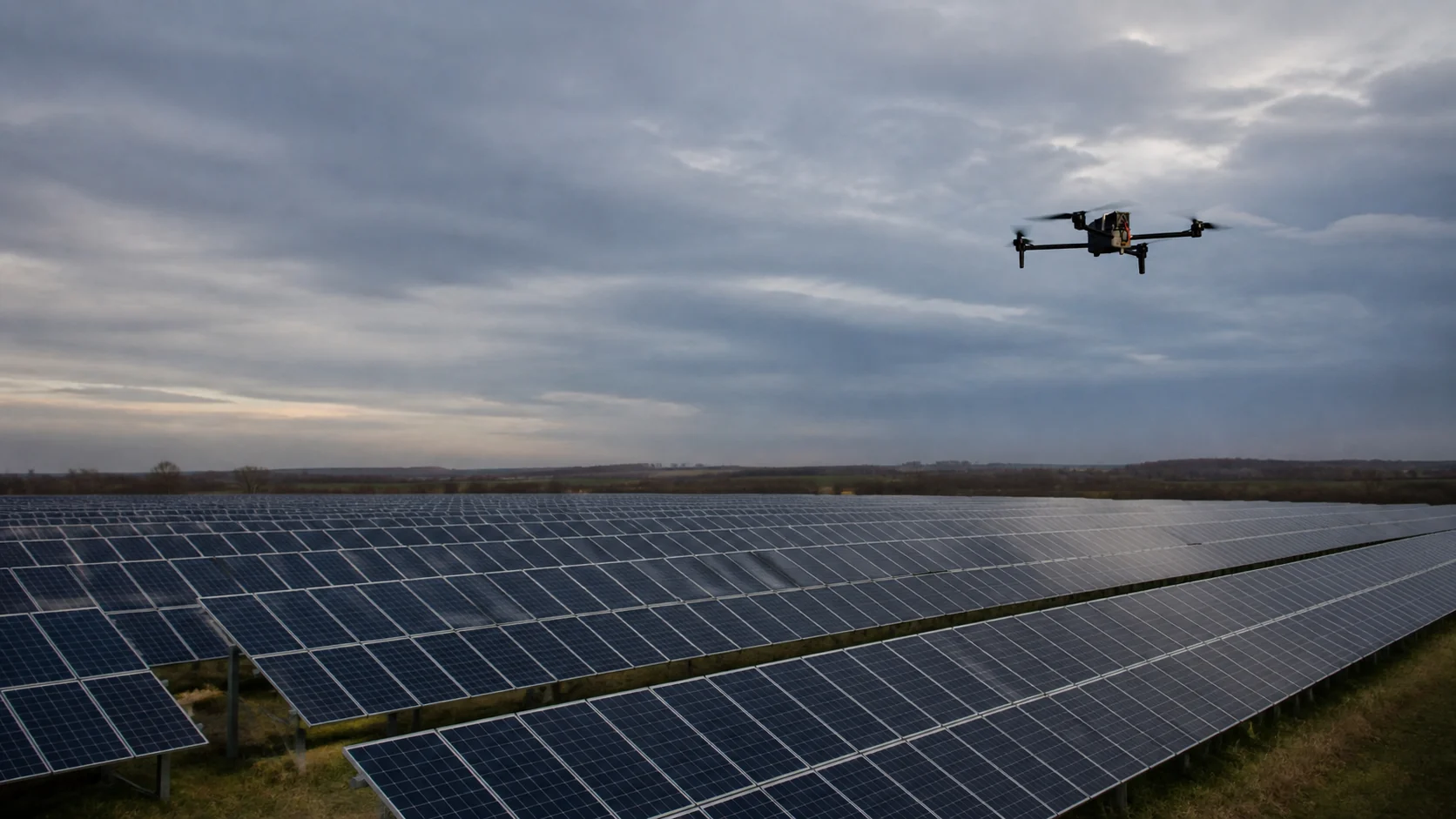
Damaged cells, hotspots, connection faults and soiling may be difficult to spot from the ground while reducing a plant's output. On a large solar farm, checking every module manually takes time; an additional inspection may also be useful after hail, storms or an unexpected drop in production.
PROCESS AND DATA
In an agreed trial, SkyHover can fly a planned route over a selected sector. RGB imagery documents visible damage and soiling; thermal imagery highlights differences that need further investigation. Observations can be linked to locations within the installation and to the mission record.
Thermal imagery is used to screen for anomalies, not to measure temperature precisely or diagnose modules automatically.
BENEFIT
The maintenance team may receive a shortlist of places to inspect instead of examining the entire farm module by module. A pilot can test whether a longer mission gathers material from a larger area with fewer interruptions and helps plan service work.
SECTION INSPECTION
Power lines and transmission assets
Challenge
Process and data
Benefit
CHALLENGE
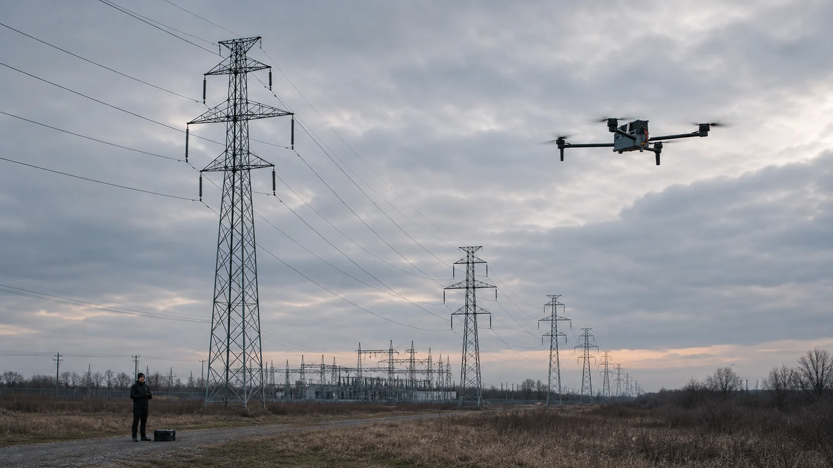
Lines, towers, insulators and substations face wind, rain, temperature changes and mechanical loads. A damaged insulator, hot connection, affected conductor or vegetation near a line may call for intervention. Alongside routine checks, operators may need a timely assessment after storms and strong winds.
PROCESS AND DATA
As part of an agreed trial, SkyHover can follow a planned section under operator supervision or inspect a selected asset. RGB imagery documents structures, conductors, insulators and their surroundings. In a suitable configuration, thermal imagery helps flag unusual temperature patterns for further diagnosis.
BENEFIT
Flight data may help prioritise close-up inspections and organise the record for a line section. A pilot can assess whether this reduces travel by ground teams and the need for people to work immediately beside high-voltage infrastructure.
ROUTE OBSERVATION
District heating and gas networks
Challenge
Process and data
Benefit
CHALLENGE
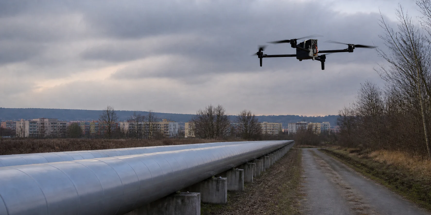
A leak or damaged pipe insulation can develop without obvious signs at the surface. For district heating, this may mean heat loss or a failure; gas pipelines also bring significant safety requirements. Routes are checked routinely and after alarms, groundworks or events that may have affected the infrastructure.
PROCESS AND DATA
For district heating, thermal imagery may highlight unusual temperature patterns for specialist review. Along a gas pipeline, RGB imagery can document the route, changes to the ground and nearby works. If the task calls for gas detection, a dedicated sensor and its integration must be confirmed separately before a trial.
BENEFIT
The operator may receive an organised screening of a selected section and a list of places to verify on site. The pilot should test whether this helps direct technical teams; imagery alone does not confirm the source of a leak.
OBSERVING CHANGES
Water infrastructure
Challenge
Process and data
Benefit
CHALLENGE
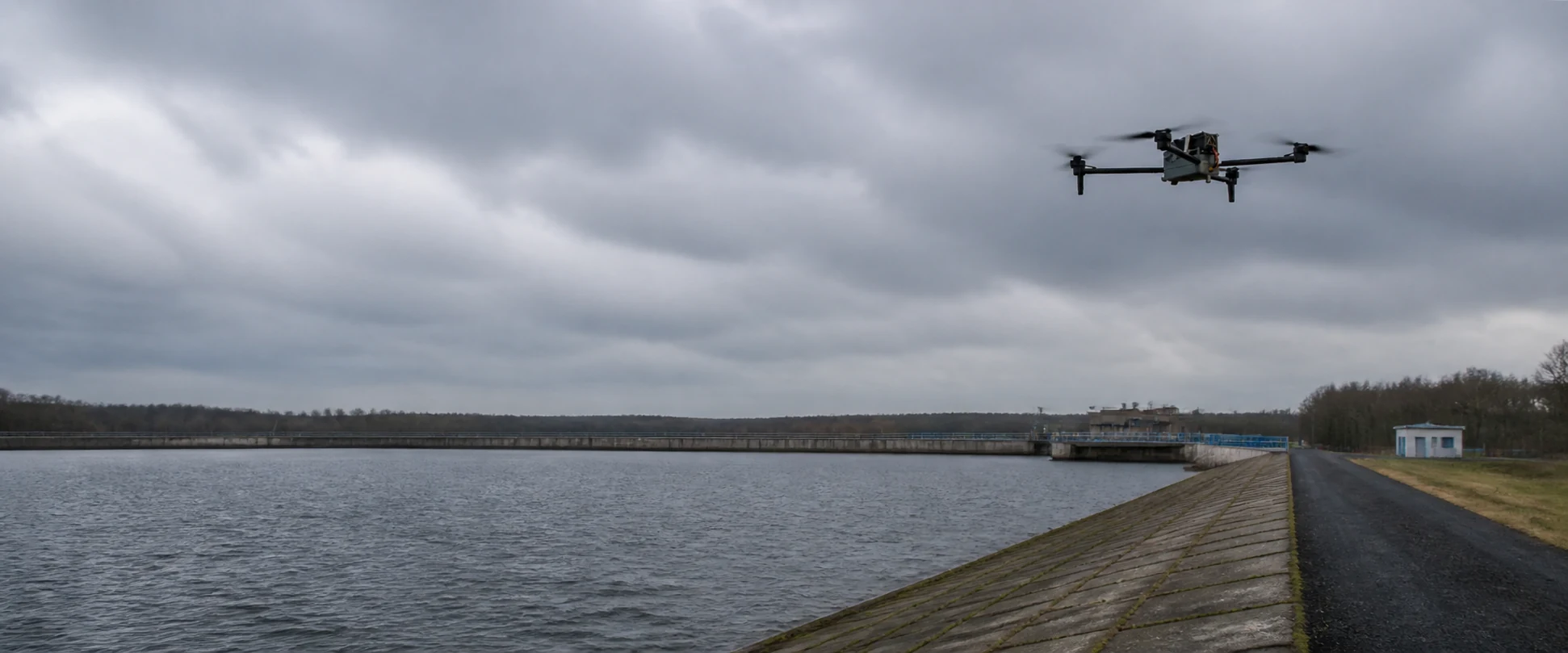
Embankments, reservoirs, canals and hydraulic structures are exposed to erosion, undermining, heavy rain and changing water levels. Small defects can worsen, so an assessment after flooding or intense rainfall can be useful alongside regular inspections.
PROCESS AND DATA
SkyHover can follow a planned route around a selected embankment, canal or reservoir. RGB imagery documents visible cracks, missing material, erosion, vegetation changes and the surrounding area. If repeatable routes are agreed, material from later missions can be compared at the same locations.
BENEFIT
Teams may identify sections that need a specialist's inspection, including places that are difficult to reach. A trial can assess whether aerial documentation helps track changes and plan site visits; it does not replace an engineering assessment of the structure.
AREA OBSERVATION
Military applications
Challenge
Process and data
Benefit
CHALLENGE
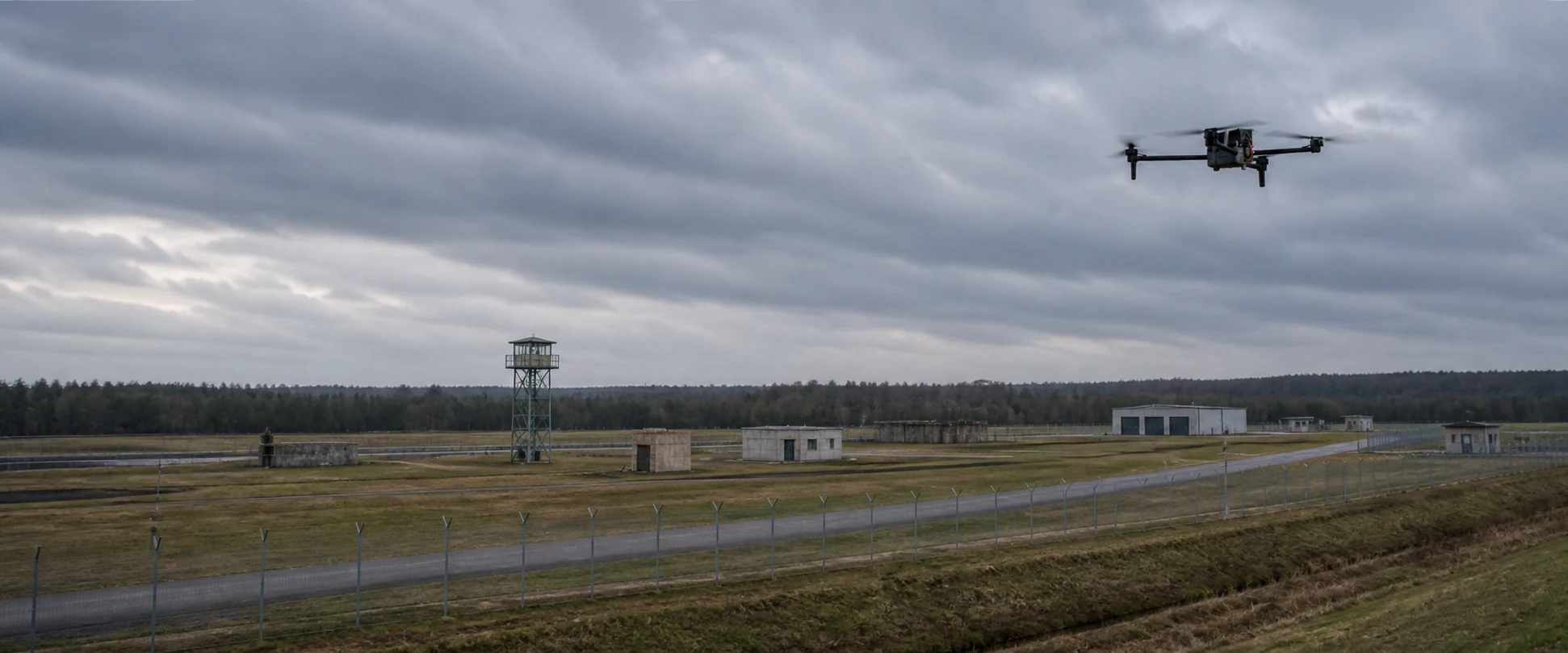
Maintaining a continuous picture of a large protected area is difficult when observation is interrupted. Both planned patrols and checks of a specific area after an event may matter. The use case and access to collected data must be agreed for the particular task.
PROCESS AND DATA
A possible scenario is a planned flight under operator supervision or manual control. A daylight camera and, in an agreed configuration, thermal imagery can provide a view of the area and geolocated observations. Any light-equipment payload, data transmission and access rules require separate technical and operational qualification.
BENEFIT
The material may help a team understand the situation on the ground and choose places for closer examination without immediately sending people into every area. This is not presented as a ready military system; suitability depends on configuration, permissions and trial conditions.
INITIAL RECONNAISSANCE
Search and rescue
Challenge
Process and data
Benefit
CHALLENGE
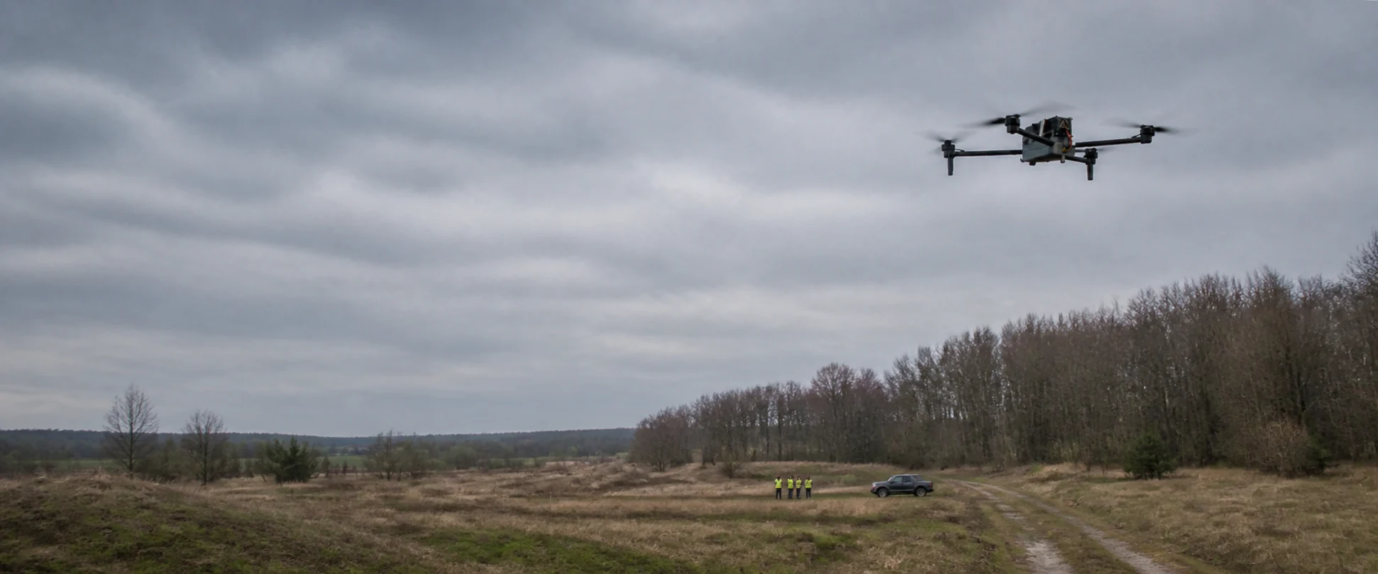
During a fire, flood, remote-area accident or search operation, teams need to understand the scene and access routes quickly. They may need to identify visible obstacles, changes in the situation and places to check first across a large or difficult-to-reach area.
PROCESS AND DATA
After agreeing the scope with the rescue team, SkyHover can survey a selected area using RGB imagery and, in a suitable configuration, thermal imagery. Geolocated observations may help identify places for follow-up. Carrying light equipment would require a separate agreement on payload, safety and operating rules.
BENEFIT
An aerial view may help responders assess the scale of an incident and prioritise further reconnaissance. A trial must establish whether it reduces the time needed to obtain useful information; the platform does not guarantee finding people and does not replace rescue-service decisions.
FROM APPLICATION TO TRIAL
From scenario to field trial
First, describe the asset, route and data you need. We then agree the configuration, test conditions and evaluation method.
01
Scenario and data
Objective, asset and required material.
02
Configuration and trial
Agreed configuration and conditions.
03
Findings and next step
A summary of observations and limitations.
NEXT STEP
Discuss your application
Don't see your application here? Tell us what you want to assess. Together, we'll consider whether a trial is feasible — a brief description without confidential information is enough to start.
SkyMav develops the SkyHover platform and works on UAS projects within a scope defined after a review.
© SkyMav · 2026
KRS 0001236707 · NIP 7963046809 · REGON 544552882
Małęczyńska 25, 26-600 Radom, Poland

